On and Around Mons Piton

| Credit | NASA/GSFC/Arizona State University |
|---|---|
| Language |
|
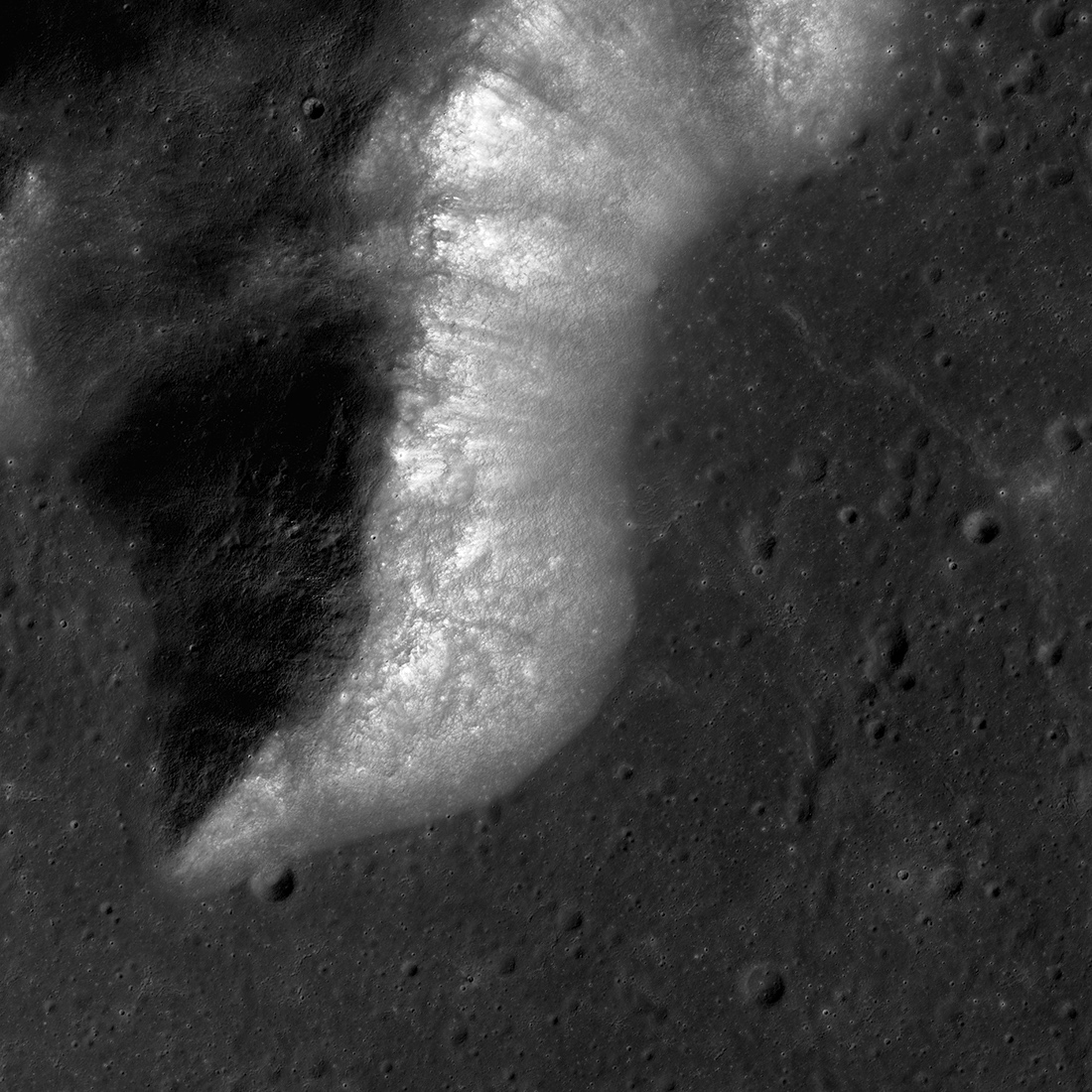
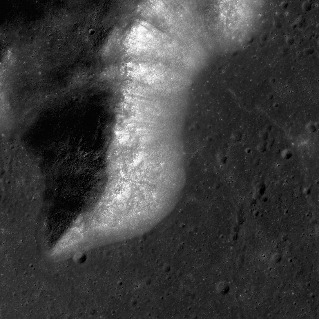
The Moon's Mons Piton, imaged here by NASA's Lunar Reconnaissance Orbiter, rises about 7500 feet (2300 meters) above the dark volcanic rocks of Mare Imbrium. The image covers an area about 10 miles (15.5 kilometers) wide, north is up, and the Sun shines from the east (right).
About 3.86 billion years ago, a large asteroid smashed into the Moon, excavating the 715-mile-wide (1150-kilometer-wide) Imbrium basin. Early in its history, the Imbrium basin resembled the Moon's Orientale basin, a spectacular bullseye formed of concentric mountain rings. The Orientale basin experienced only minor mare lava flooding, so its original mountain ring structure is still exposed. The Imbrium basin had a very different fate.
Mons Piton was one of many peaks in the inner mountain ring of the Imbrium basin. It likely stood as high as five kilometers above the basin floor. Between about 3.7 and 2.5 billion years ago, however, volcanic eruptions gradually filled in the Imbrium basin. Lava submerged most of the mountain ring of which Mons Piton was a part.


