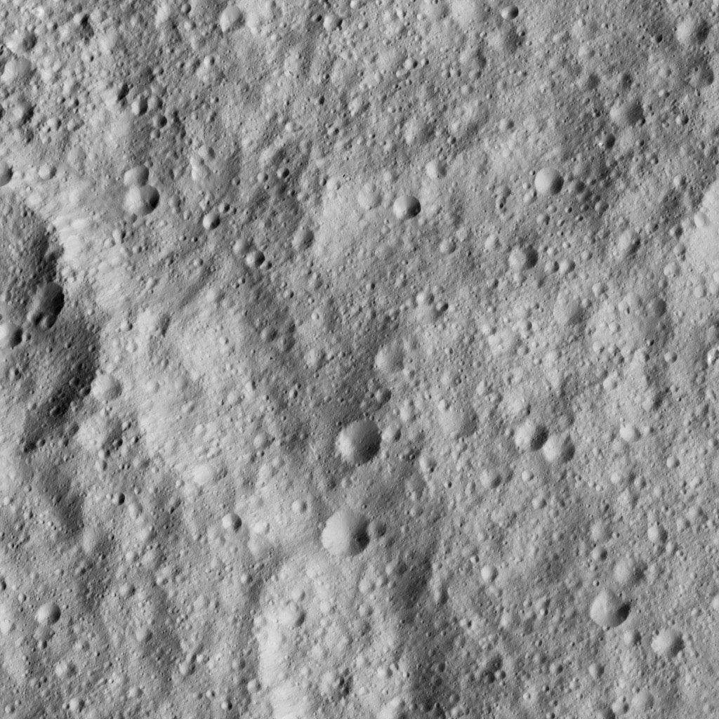
Dawn LAMO Image 150

August 15, 2016
| Credit | NASA/JPL-Caltech/UCLA/MPS/DLR/IDA |
|---|---|
| PIA Number | PIA20872 |
| Language |
|
NASA's Dawn spacecraft looked down on Ceres' equatorial region to capture this view of intensely cratered terrain. The image is centered at approximately 3 degrees south latitude, 267 degrees east longitude, just south of Kimis Crater.
