
Jorge Vazquez
Project Scientist - NASA's Jet Propulsion Laboratory (JPL)
University of Miami
B.S. in Physics (with honors)
Graduate School of Oceanography, University of Rhode Island
M.S. in Oceanography
University of Southern California
Ph.D. in Geological Sciences
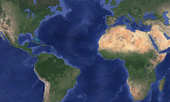
Not all oceanographers spend their time out on the seas. As a project scientist for the Physical Oceanography Distributed Active Archive Center at NASA's Jet Propulsion Laboratory (JPL), I study the world's ocean from my computer, using data from a series of NASA satellites that orbit Earth. These data measure everything from how the ocean changes during an El Nino to how such climatic changes affect local regions like California's coast.
This kind of precise data was impossible 100 years ago. In fact, scientific and technological advances over the last century have revolutionized the field of oceanography. Today, we gather data both from instruments in the ocean and from satellites in space.
These satellite data measure changes in sea surface topography (the ocean surface has changes in elevation, just like the land), ocean surface winds, sea surface temperature, and water pressure at the bottom of the ocean.
The satellites view the ocean from 440 to 800 miles (700 to 1,300 kilometers) above Earth. Current advanced technologies allow scientists to combine data from different satellites to view ocean conditions in near-real time, only 6 to 12 hours from when the satellite acquires the data. This information can then be sent to researchers and decision-makers for use in improving forecasts for hurricanes to the regional and local impacts of ocean phenomena like El Nino and La Nina.
As technology improves, along with the availability of these data in real-time, new opportunities will continue to expand to better understand our planet and its impacts on our lives.
Planetary science is a global profession.